presentations
The following presentations were generated as part of the National Science Foundation Advanced Technological Education Program (Award #1700568). All materials are provided free for educational purposes. If you require content in another format for accessibility, please make a request using: http://www.visualecogeo.com/contact
Turk, J. 2019. Designing Modular, Stackable Credentials for Academic and Career Success. Advanced Technological Education (ATE) Principal Investigators Conference. Washington, DC.
The session will share the University of North Georgia’s Applying Geospatial and Engineering Technology (AGET) project experiences and developments associated with modular and stackable credentials in land surveying and geospatial engineering technology. The project developed and implemented a new Land Surveying Certificate and Associate of Science pathway in Geospatial Engineering Technology containing several tracks with modular and stackable credentialing options for students.
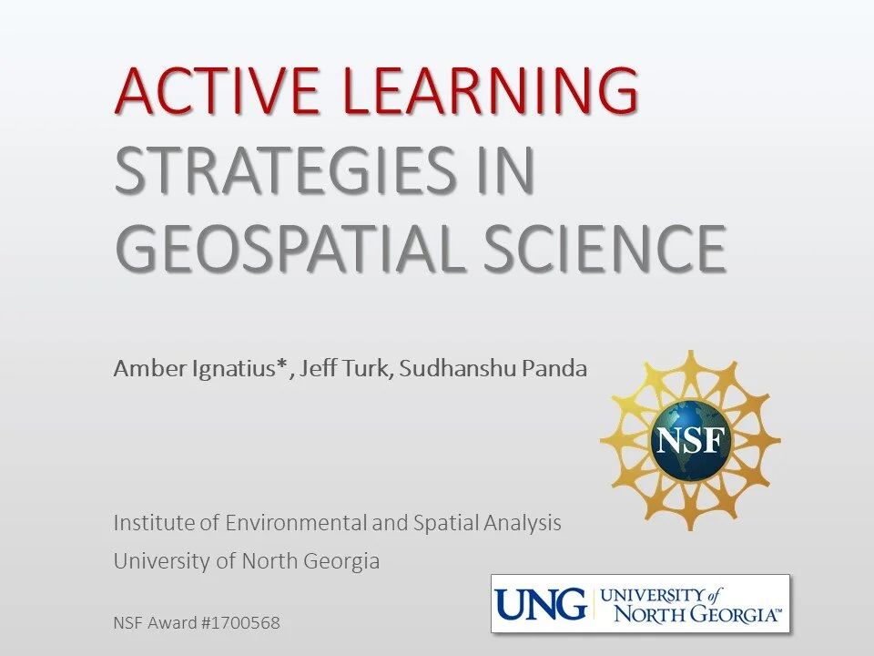
Ignatius, A.R., Turk, J., Panda, S. 2019. Active Learning Strategies in the Geospatial Sciences. Advanced Technological Education (ATE) Principal Investigators Conference. Washington, DC.
Ignatius, A.R. 2019. Application of Geospatial Technologies in Higher Education: Promoting Interactive Experiential Learning. Association of American Geographers Annual Meeting, Washington, DC.
Science-based educational research increasingly supports the high value of active learning. The geospatial sciences incorporate active learning strategies such as field observation, experimental methods, hands-on learning, and the use of technology in the classroom. This session will demonstrate implementation of experiential learning methods such as field-based inquiry, metacognition, retrieval practice, and storytelling to promote comprehensive understanding and long-term learning in geoscience.


